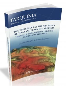
QUADERNI DI TARCHNA 3

Only seven years after the publication of the excavations by P. Romanelli, which definitively confirmed the location of the ancient Etruscan city, in 1955, the operations of the technicians and engineers of the Ing. C.M. Lerici Foundation began at Tarquinia. They focused primarily on the tombs, but soon they also switched to the ancient town. The geophysical investigations at Civita started in 1964. Since then, works were carried out to systematically examine the entire plateau surface: the program was not always respected and suffered considerable obstacles, but, despite this, it continued until 1981. An incredible amount of data was collected through magnetometry, electrical measurements, core samples and surveys. Over time, additional georadar (ITABC -CNR) and gradiometry surveys (British School at Rome) were also performed as part of the CRC ‘Tarquinia Project’ directed by the University of Milan. Today the project is dealing with processing this huge amount of data for the publication of the Archaeological Map of the Civita di Tarquinia.
In light of the recent collaboration with the University of Verona, this work will use the area South-East of the Ara della Regina sanctuary as a pilot project. The volume will show that only with the comparative study of the results of different disciplines (from literary sources to archive research, from the excavation to the study of cartographic sources) through the optics of archaeology, topography, speleology, architecture, paleoanthropology, paleobotany, chemical-physics, assisted by information technology and ICT data management, it is possible to shed light below the ground and to laY, the foundations for the overall study of the city and its development.
DATI BIBLIOGRAFICI
Autori: Matilde Marzullo, Andrea Garzulino
Editore: Milano University Press
Pubblicato nel: novembre 2022
Formato: brossura, 100 p.
ISBN: 979-12-5510-000-3
Prezzo: 18,00 €